Advanced Spatial Analysis
Water rights transfer maps at John Day Fossil Beds National Monument
Land Use Classification
Temporal analysis of land use changes across a 10-year period.

View Full GIF
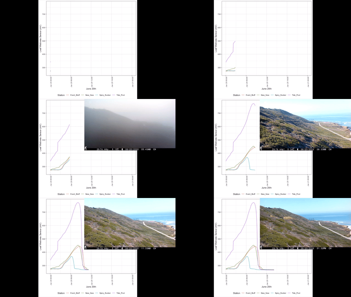
Temporal Data Visualization
Animated visualization of fog occurence at Cabrillo National Monument with real time camera footage overlayed.